
Part of the Pfiffner Traverse in RMNP - A Skurka Adventure
Last year I joined Andrew Skurka for a hike through the Kings Canyon high country on part of the Kings Canyon High Basin Route (KCHBR), and this year I hiked with a couple of folks who guide for him in Rocky Mountain National Park for a portion of the Pfiffner Traverse. Both routes are substantially off-trail but they have a very different character. The KCHBR is a rocky moon-scape with perfect weather while the Pfiffner is carpeted with green and gold grasses and frequently threatens to weather on you. Both are great. Here's how it went in Colorado. There's more commentary after the pictures.
Day -1: Travel day. I'm nervous about the trip before leaving Portland; this is not a surprise. I fly into Denver, randomly run into an old pal on the train from the airport, and then drive up to Dillon to get acclimated to elevation. I try not to worry too much and just focus on my gearlist and food as a way of directing compulsive thoughts elsewhere. It works somewhat, but I'm still anxious about my feet doing their thing and various other trip intangibles.
Day 0: I make my way from Dillon to Winter Park to put myself in position to get to the trailhead the following morning. I pickup a CDT hiker at Berthoud Pass bound for the same town as me. She's finishing her thruhike with a final flip back to Colorado since it was too snowy to make it through this spring. I hang out at the hotel afterwards checking and rechecking everything. Surprisingly, I actually finish this task and get to bed early.
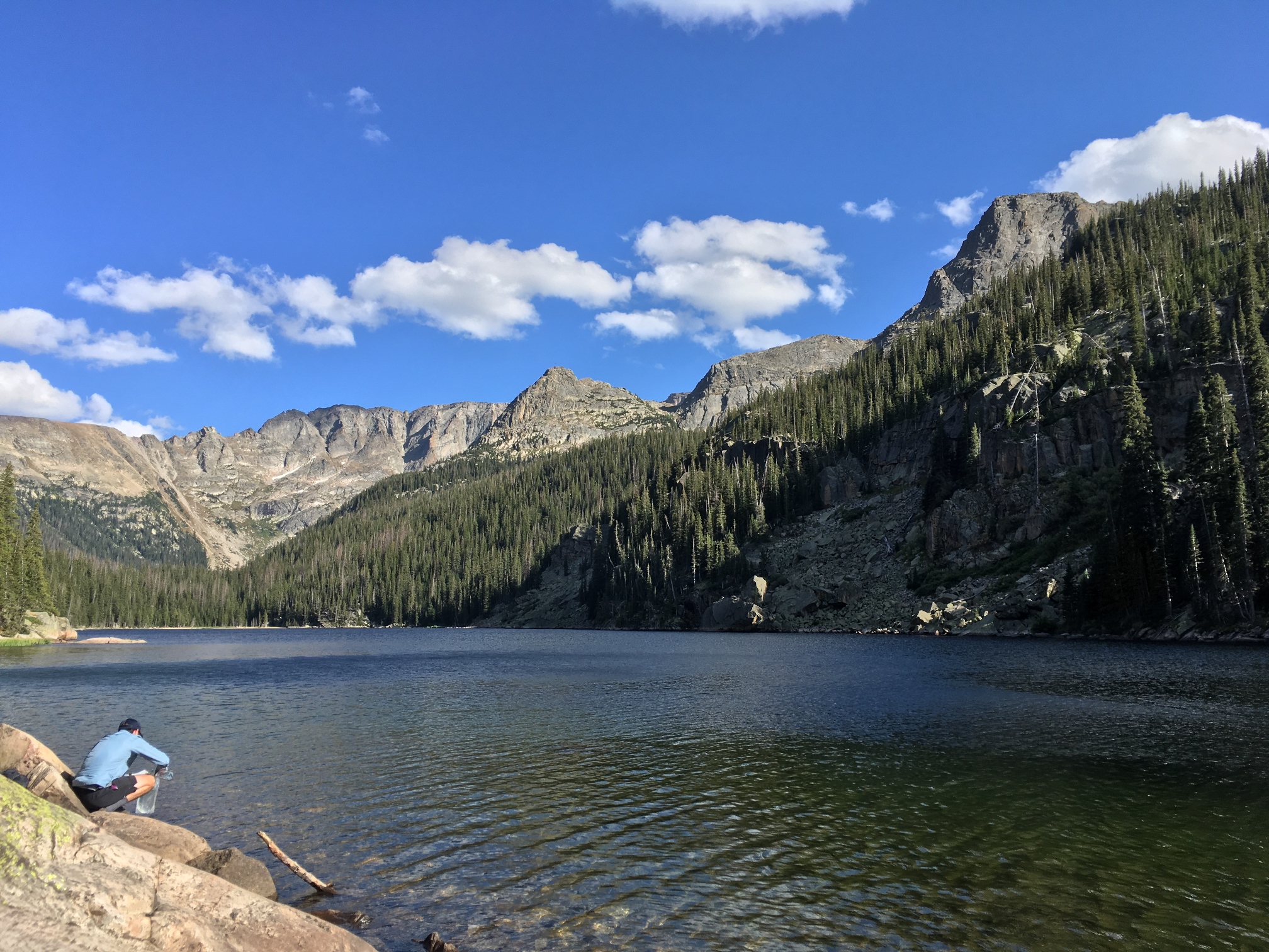
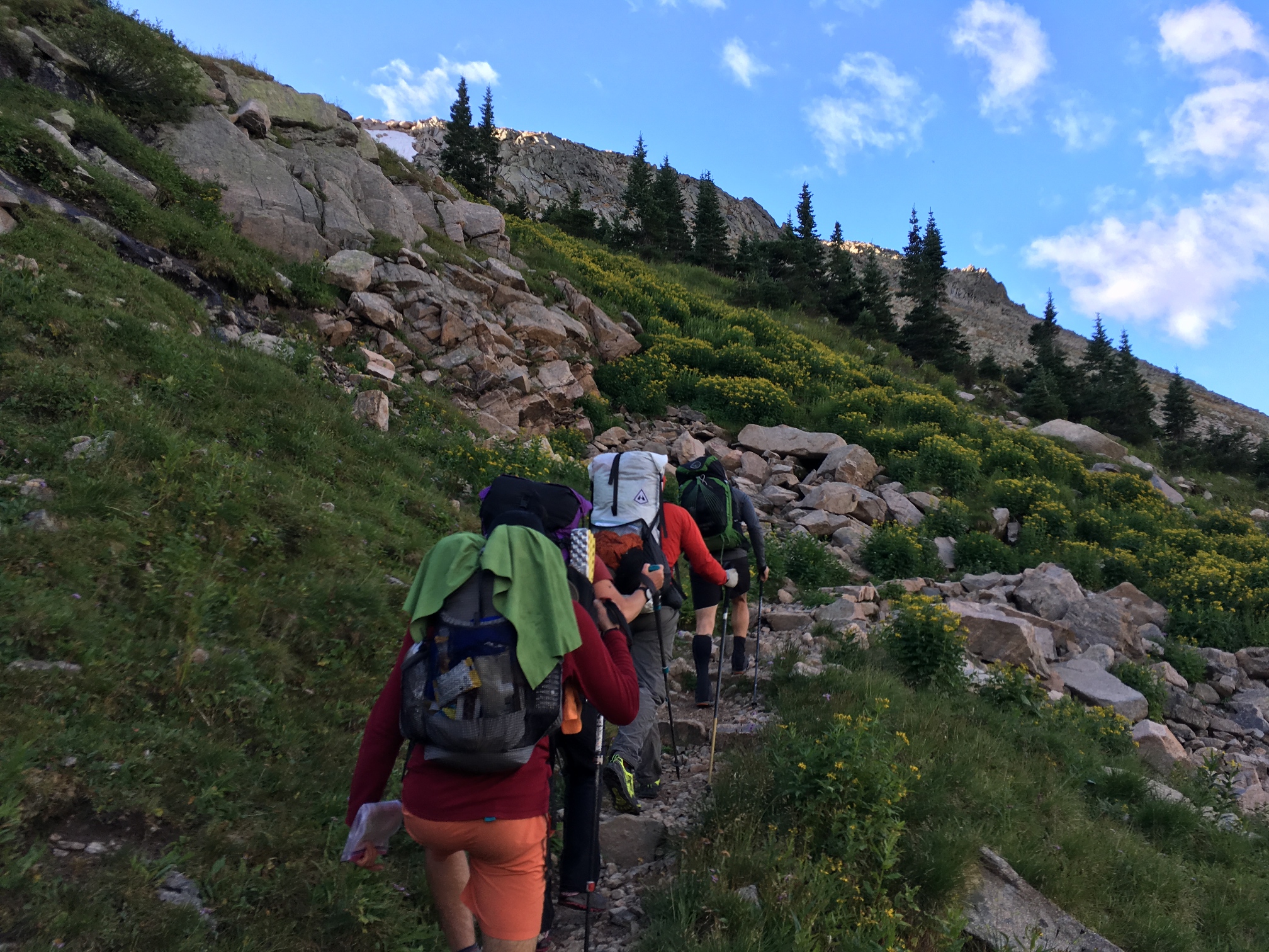
Day 1: Driving to the meetup at the East Inlet trailhead in the morning I'm feeling nervous but committed unlike last year where I kinda wanted to bail by this point. I pass through Grand Lake and see a hiker with a small pack and decide that he must be part of our group. Indeed he is. I take Rob the 2 miles to the trailhead and thus I've met the first person in our gang. We meet the rest at the trailhead and all is well. Every seems chill and as a result I feel pretty chill. We've only got like 8 or 9 miles to cover to our campsite for the night so we just take it slow. We have to split up between two campsites due to park rules and the site I chose is 1 mile back down the trail from where we have dinner (just above Lake Verna). We walk back after dark and see a moose crossing the river below the trail. We get back to camp and I sleep great.
-
![]()
Lake Verna below one of our campsites on the first day.
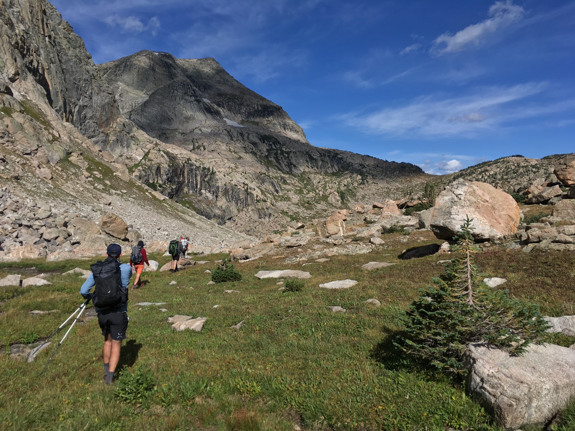
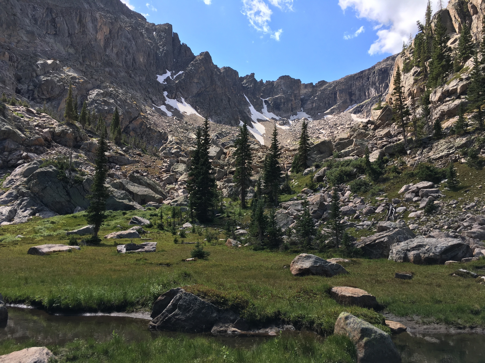
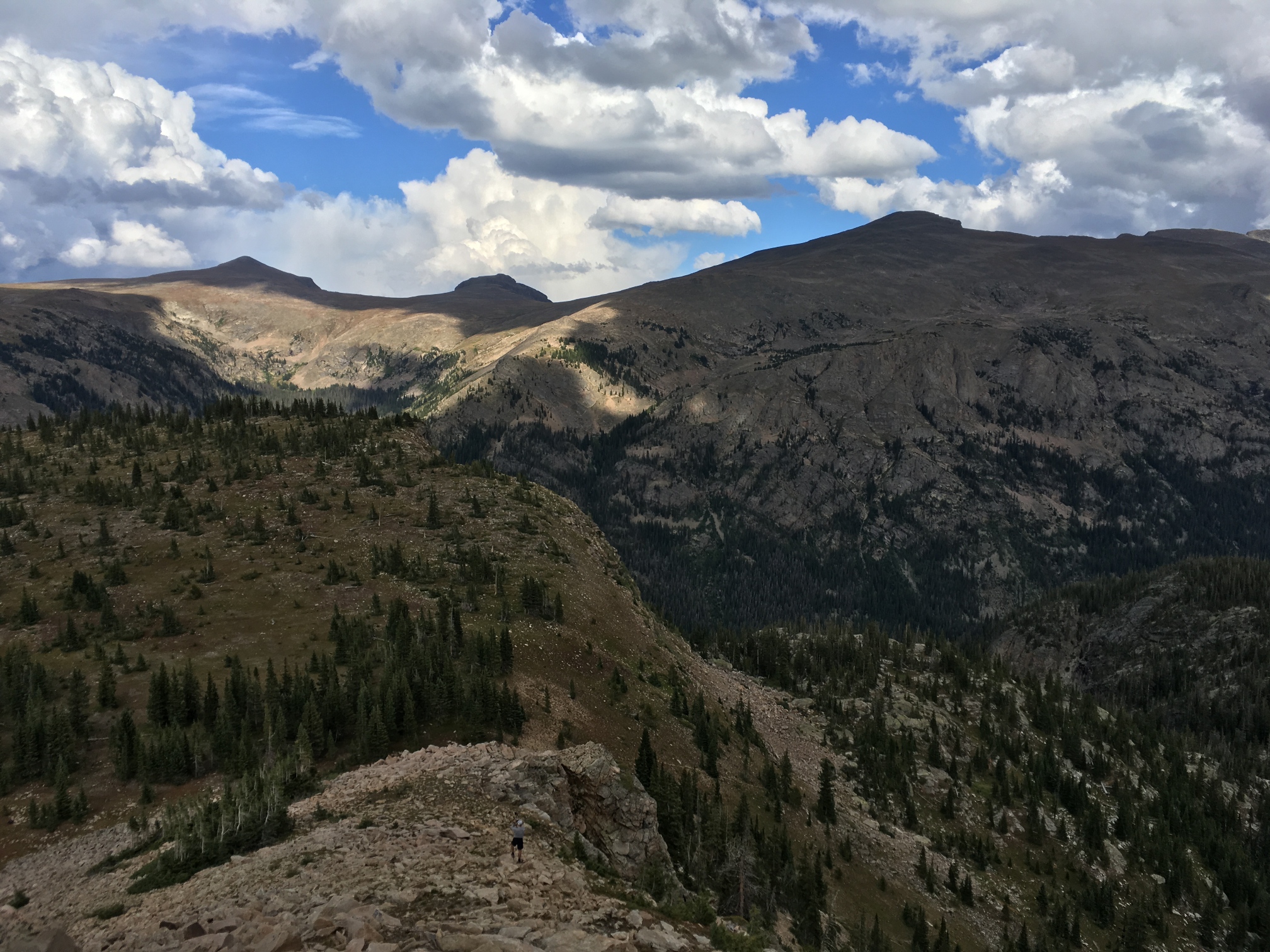
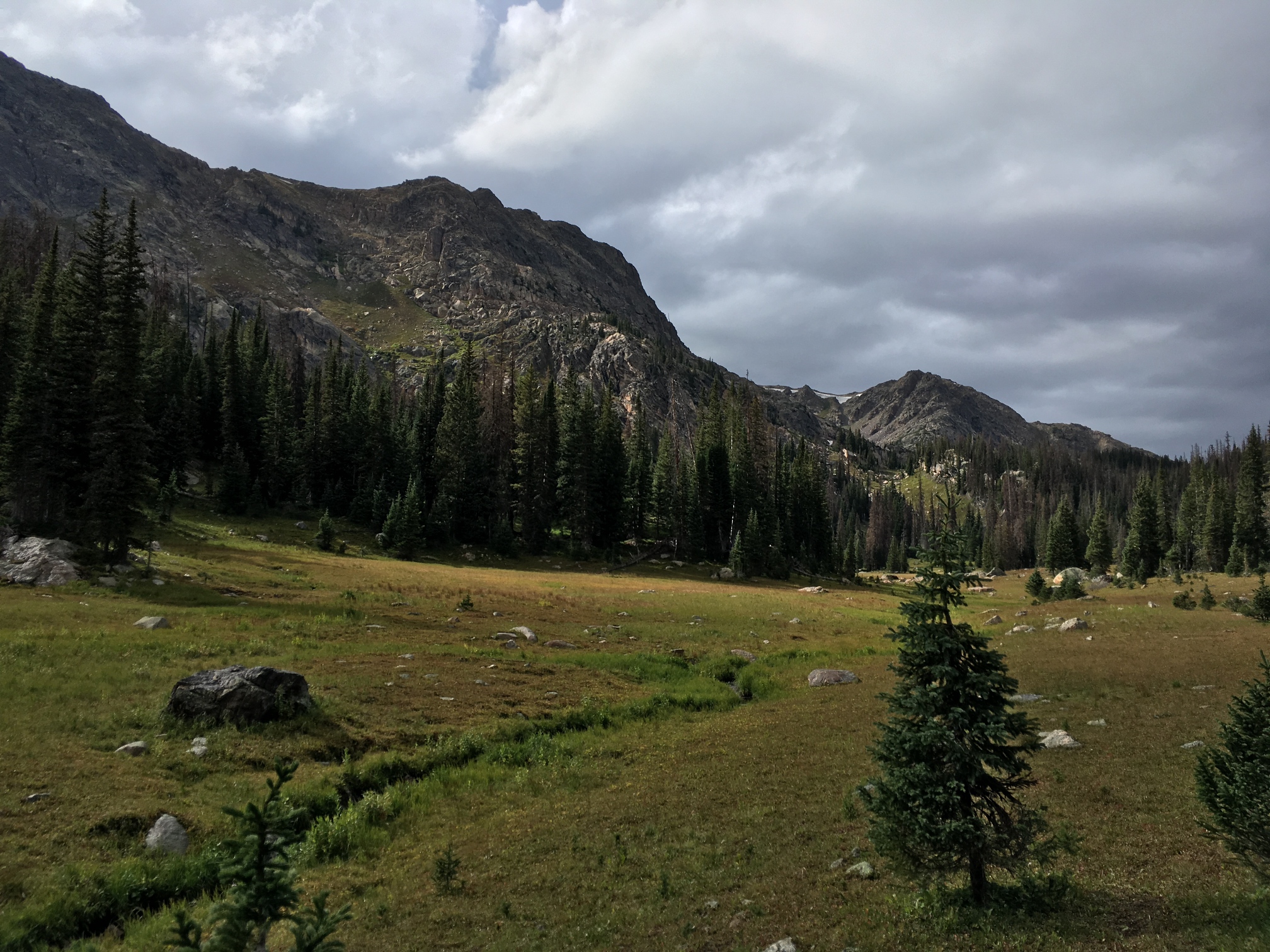
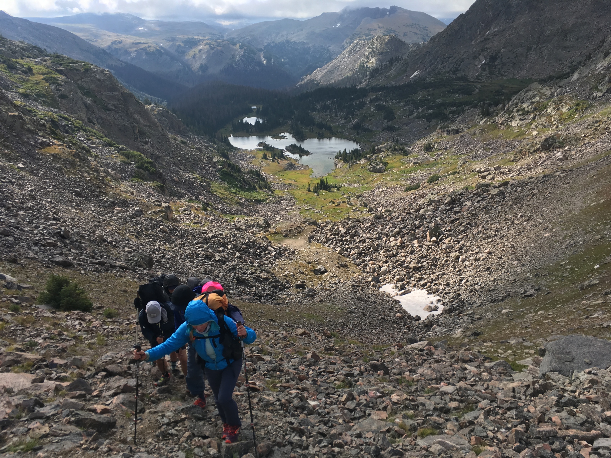
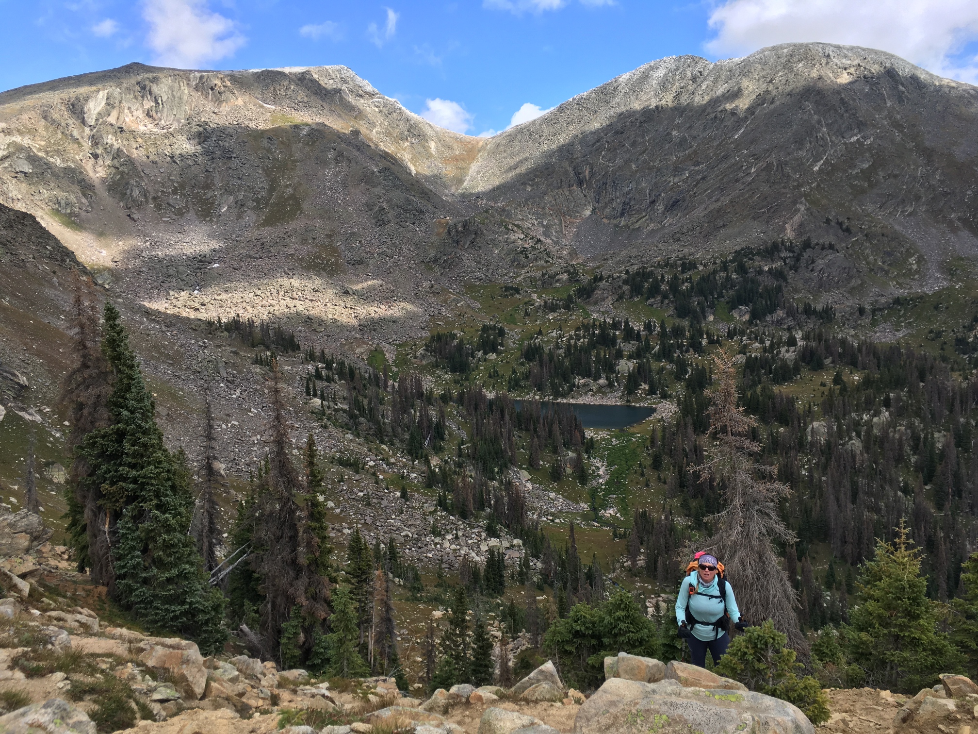
Day 2: Time to step off trail. We walk past Lake Verna to the end of Spirit Lake (the next lake in the chain) and hang a left to head straight into the woods and the fucksticks - Alan's terminology for blowdowns. No one says blowdowns again the rest of the trip after hearing this. After a steep climb out of the woods we walk into an alpine landscape that is everything that I love about Colorado. From here we walk over the pass below Ptarmigans Beak and then down to a tarn where we take a minute to do a reset dry on our sleeping bags and shelters. Next is a talus field we have to cross to make it to the next pass below Andrews Peak. Just after crossing the talus field we hear a crack of thunder. Turning around I realize that it's not thunder but a giant piece of rock breaking off from Ptarmigans and falling down towards the talus we just crossed. It doesn't tumble across the route we just walked, but it gets close. It would have been a pretty anxious moment had it happened 20 minutes prior.
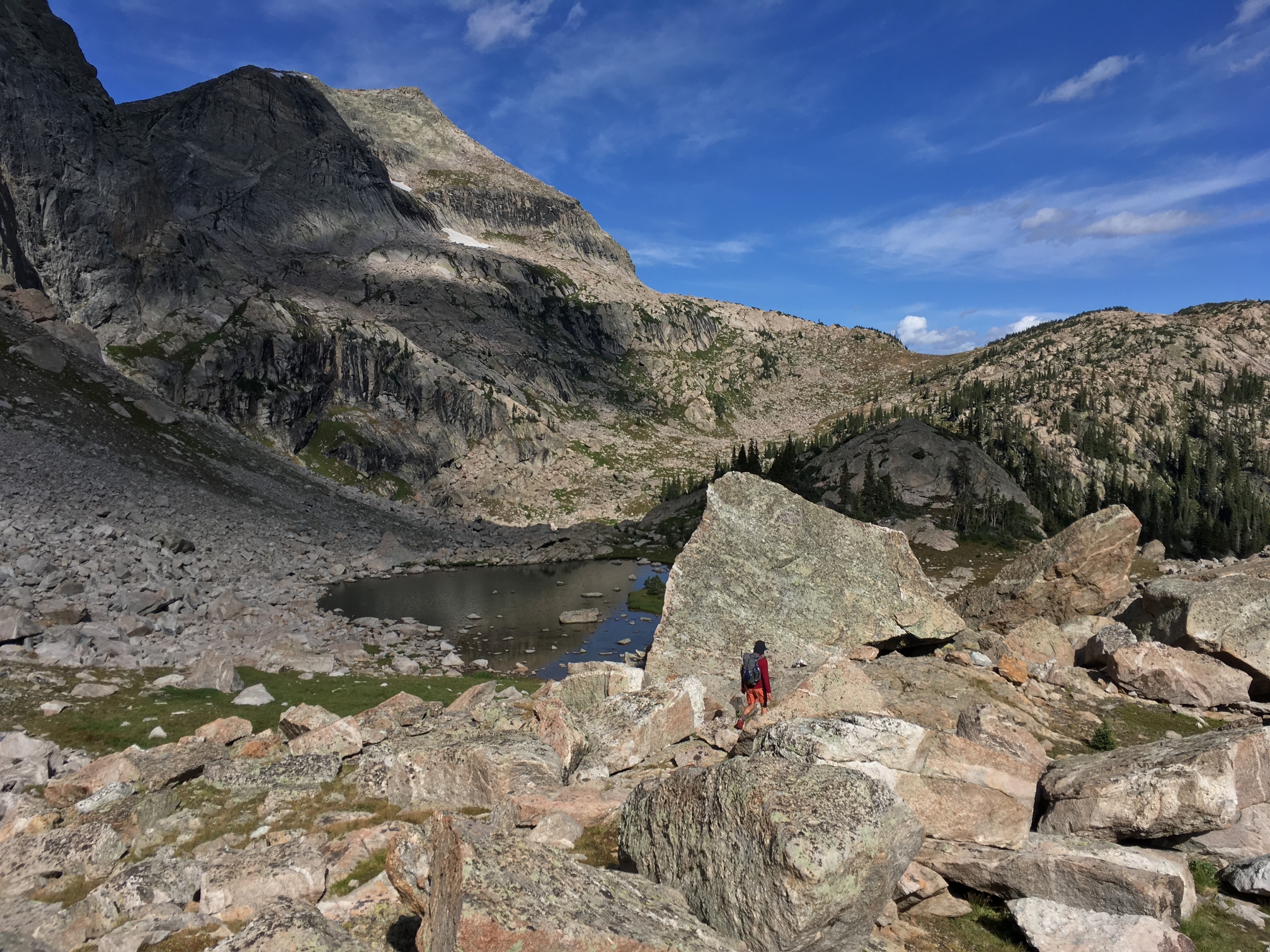
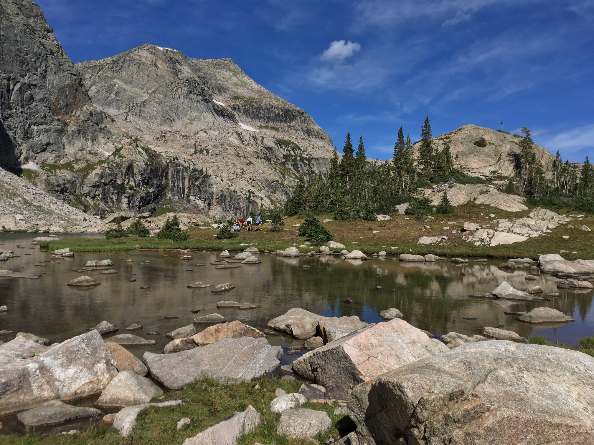
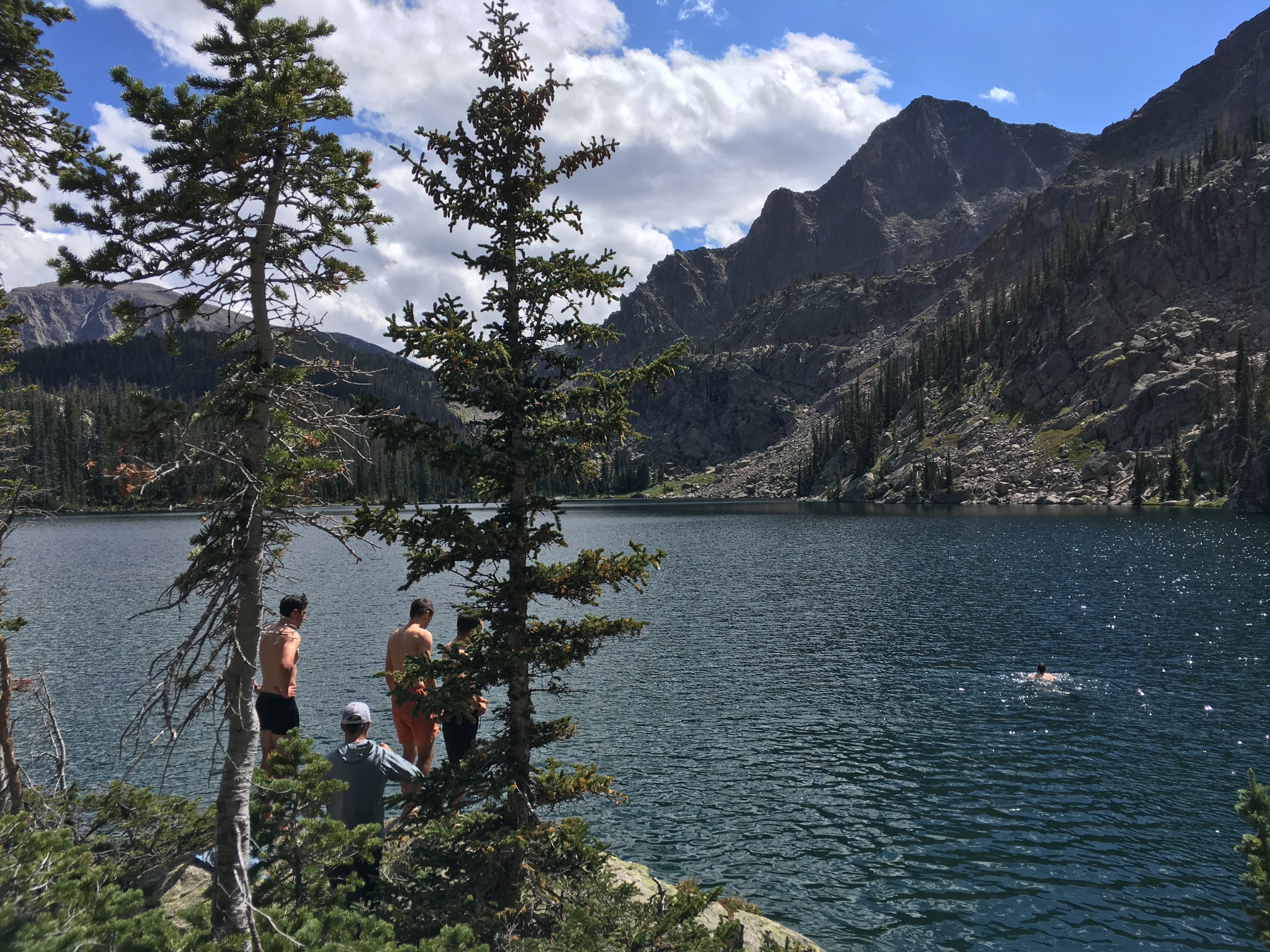
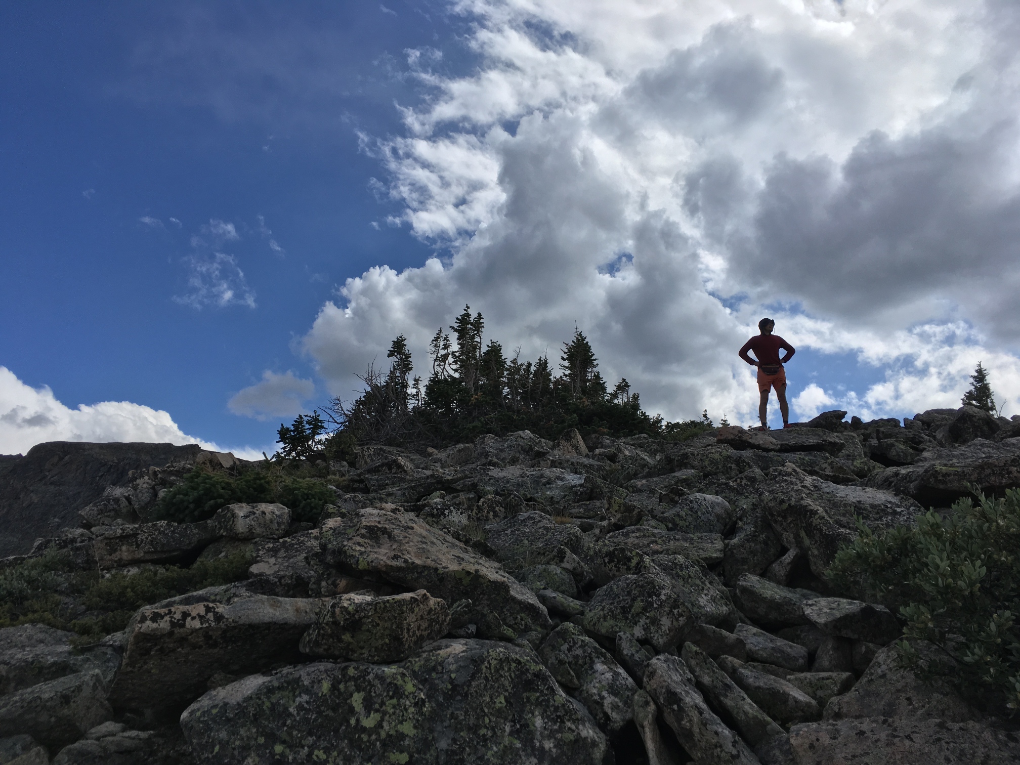
We continue the relatively easy walk to the top of the pass and then descend to Lake Nanita where we take lunch and a few of us go swimming (not me). In 24 hours it will be sleeting on us, but for now it's sunny and relatively warm. Next is Lake Nokoni which we reach by trail. Here some of us decide to do a little off-trail scramble up to an unnamed peak above the lake. We ditch our packs by a giant rock and head up without all the weight. When we're done we head down a forever trail with infinite switchbacks to our camp at Pine Martin.
-
![]()
Exiting the fucksticks.
![]()
-
![]()
A tarn below Ptarmigans Beak and Andrews Peak in the distance.
![]()
![]()
![]()
-
![]()
Lake Nanita coming into view.
![]()
![]()
-
![]()
Rob leading the way to the top of an unnamed peak above Lake Nokomi.
-
![]()
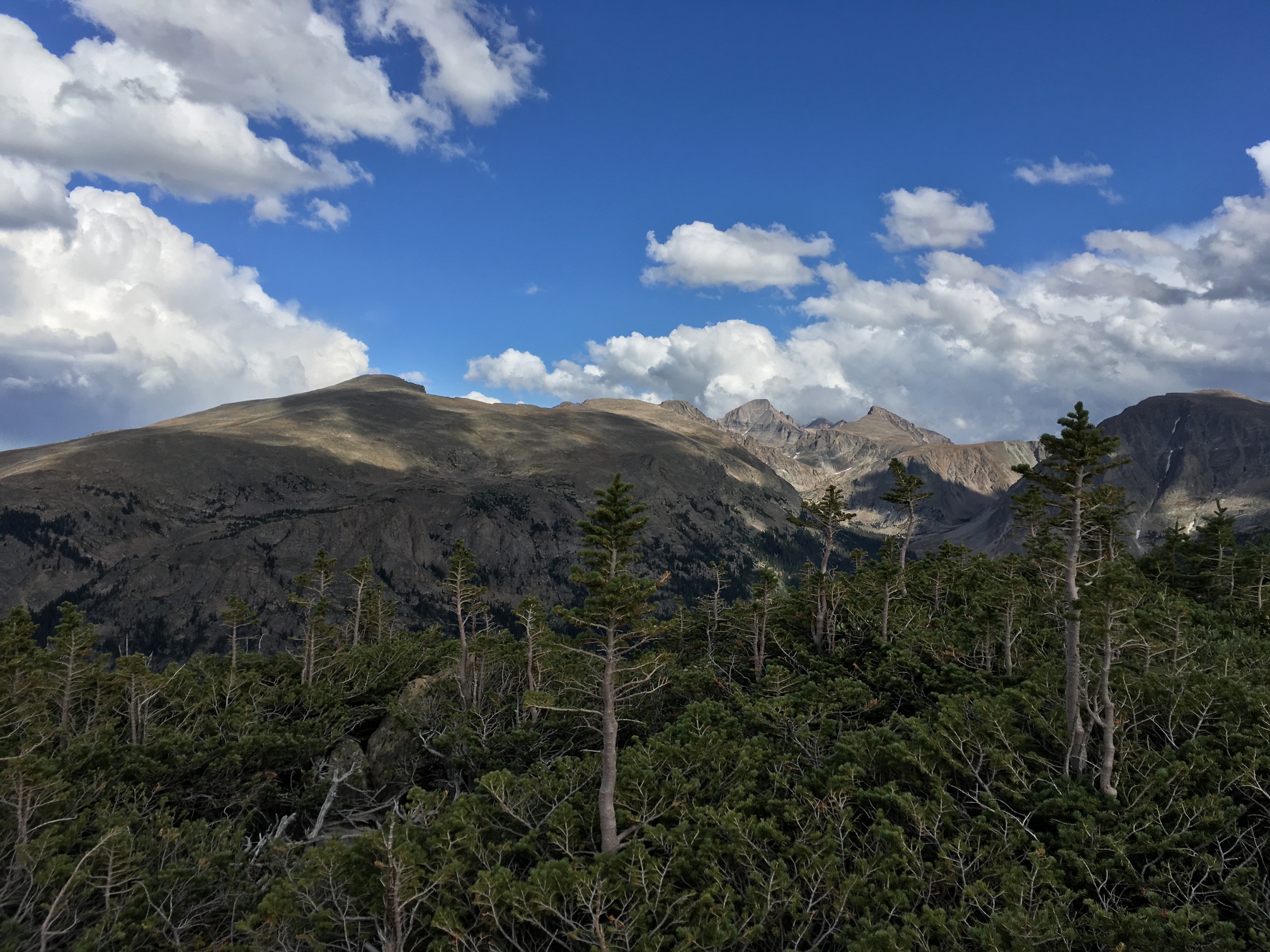
A different view of Longs Peak than you usually see from the Front Range.
![]()
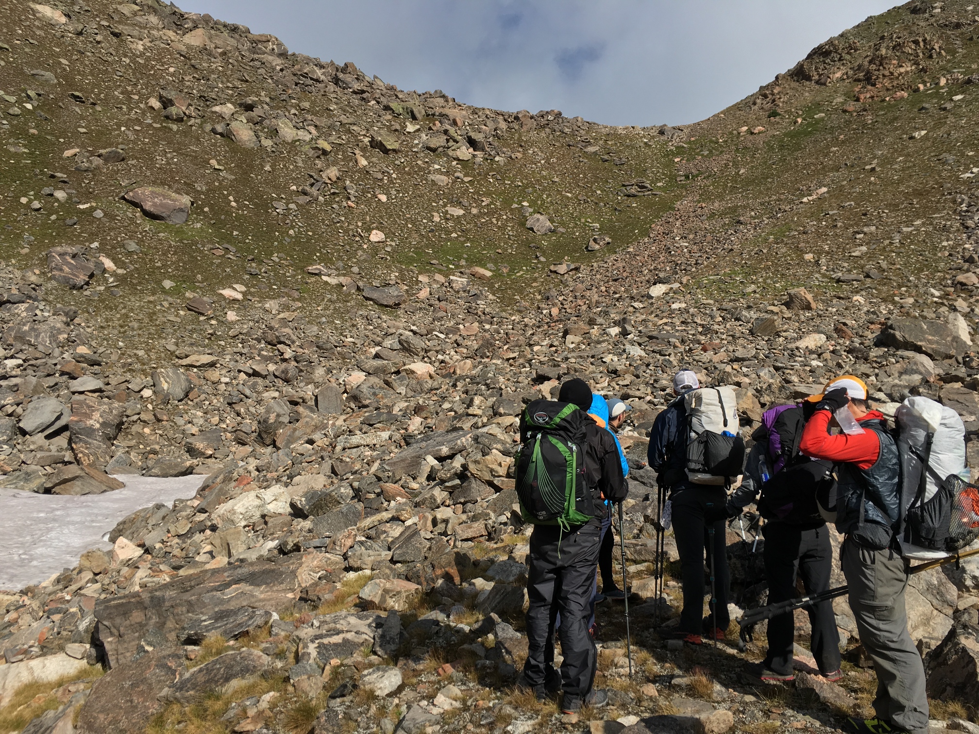
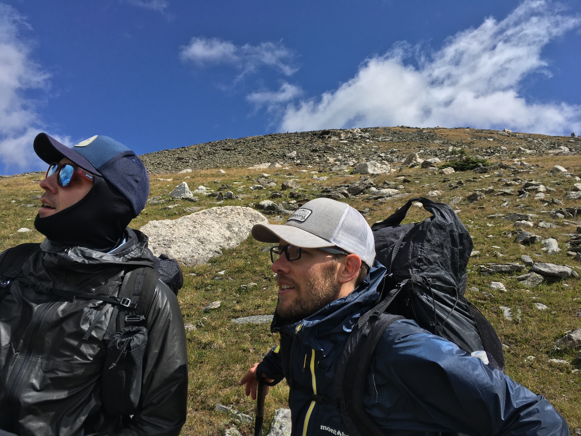
Day 3: We get an alpine start in the morning meaning we wake up very early to start walking because the weather is supposed to really suck. The forecast is for thunderstorms by early afternoon and we have to walk across the divide before that happens. By 8am clouds are already building. We're hoping to be able to walk up to Taylor Peak along the way, but it's a weather dependent situation. By the time we get to the decision point it looks terrible. I've spent a total of 6 years living in Colorado, so I know how quickly the weather can turn here. Perhaps to instill a little fear in the folks who haven't had direct experience with Colorado weather, Alan tells the group that he'll go up Taylor but only if we're ready to hike down in thunder and lightning with "50 mile an hour winds and 35 degree rain." I can't square the idea of wanting to do something with that potential outcome so I skip the peak after teetering in the middle between both options while each group walks away from me. The group that goes up only gets sleeted on and experiences mere 30 mph wind. In the end I wish I had braved the weather, but Alan wasn't wrong about the potential for it to take a bad turn.
The rest of us continue along the CDT waiting for the sky to explode. It occasionally starts to sleet or snow and it is very dark, but it never really opens up on us until we arrive (very early) at a campsite where we setup a tarp and wait for the others. Only then does it start to rain. When everyone else arrives we set out for Haynach Lakes which will be our campsite for the night. Along the way we encounter two moose almost in the middle of the trail. They're not going anywhere and the bull seems to be telling us to keep our distance by staring us down. We bunch up to form a large human blob and walk well off trail around the pair and arrive a few minutes later at a beautiful camp below Haynach.
![]()
-
![]()
Darkness on the CDT.
![]()
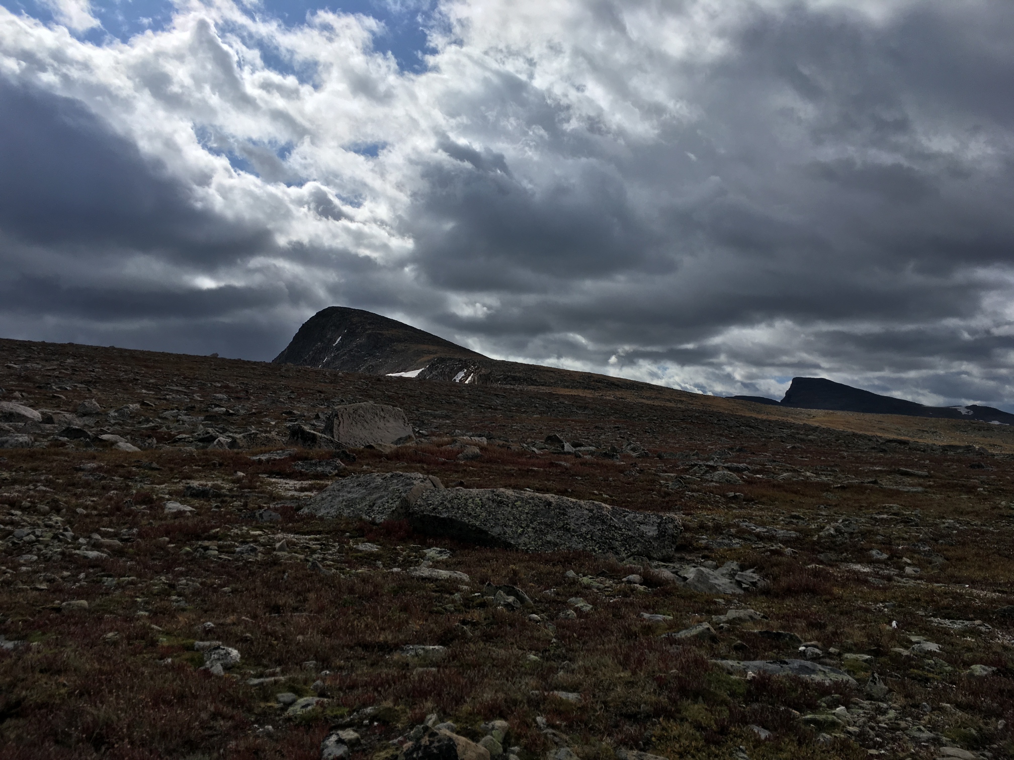
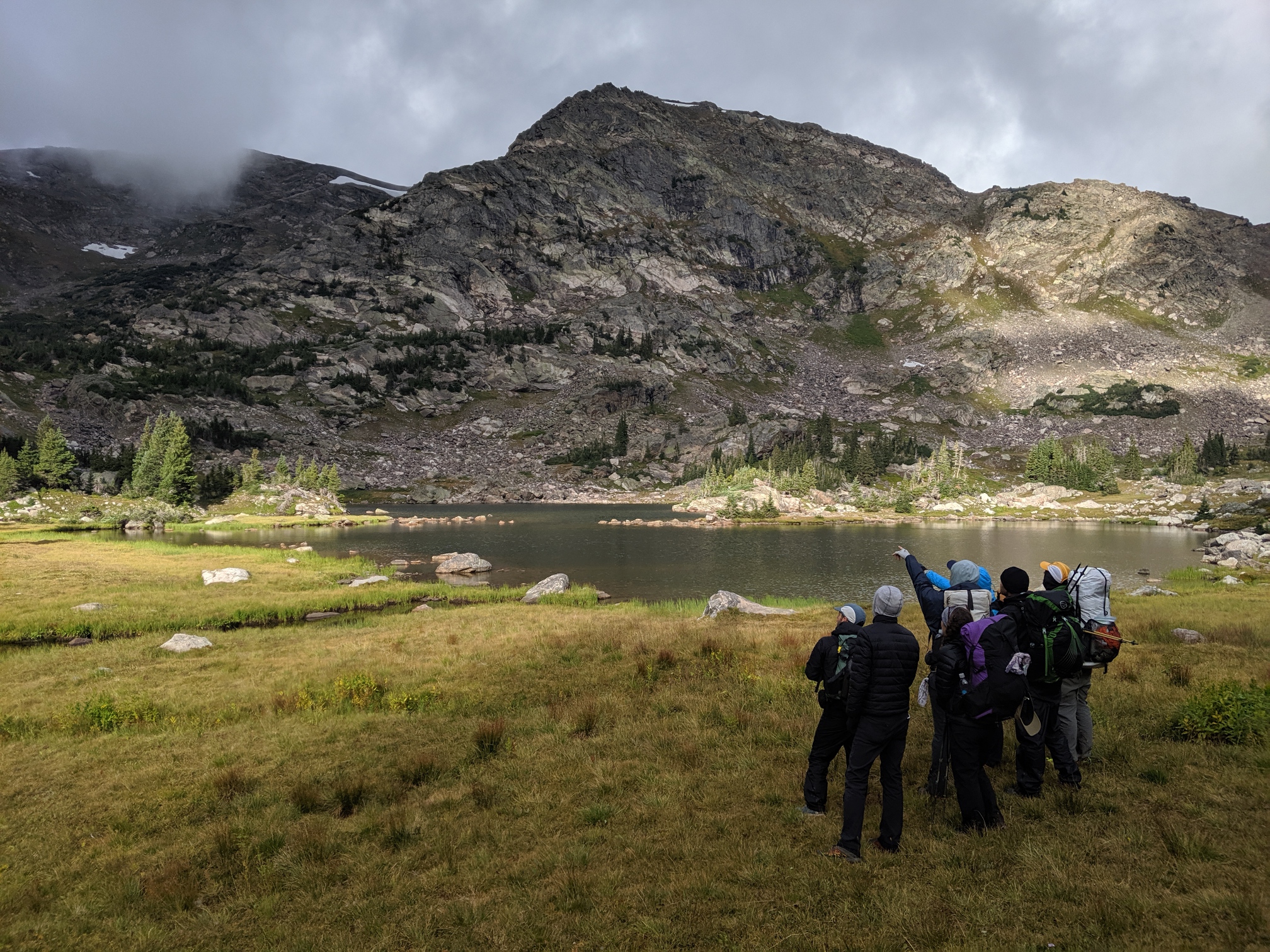
Day 4: We wake up at the Haynach campsite with no visible snow accumulation. It definitely hailed or sleeted overnight and there is some frozen precipitation on my tent, but we're not covered in snow here. That's good, but I'm still freezing cold. When we finally get started it takes an hour for my toes to warm up and for me to take off my puffy. We walk past the lake that our camp gets its name from finally and see the pass that we're heading for. We start to hear elk bugling in the distance and Jessica finds a line of them way up on a mountain side just under a cold looking cloud. There's probably 20 of them moving up towards the ridge together.
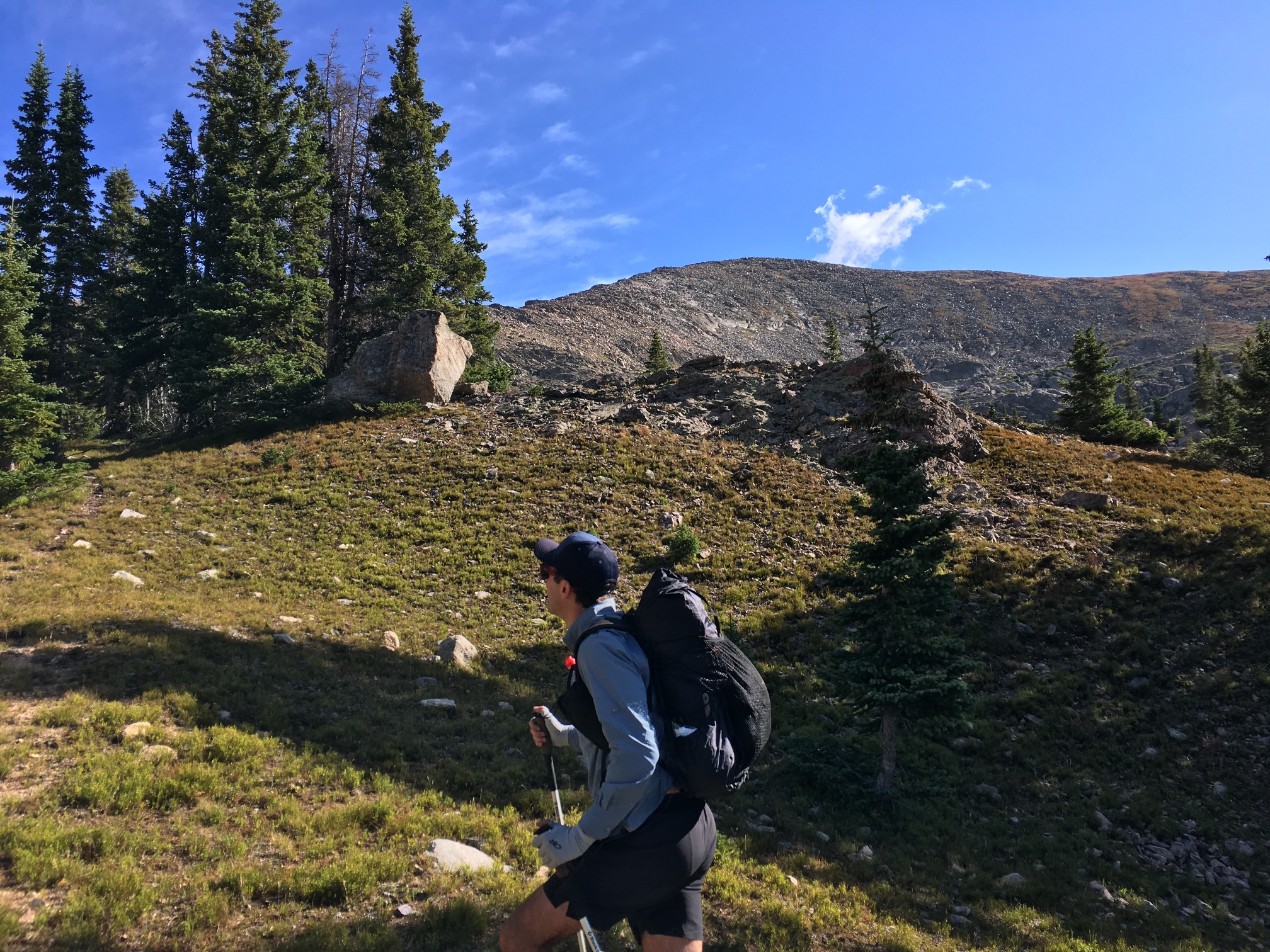
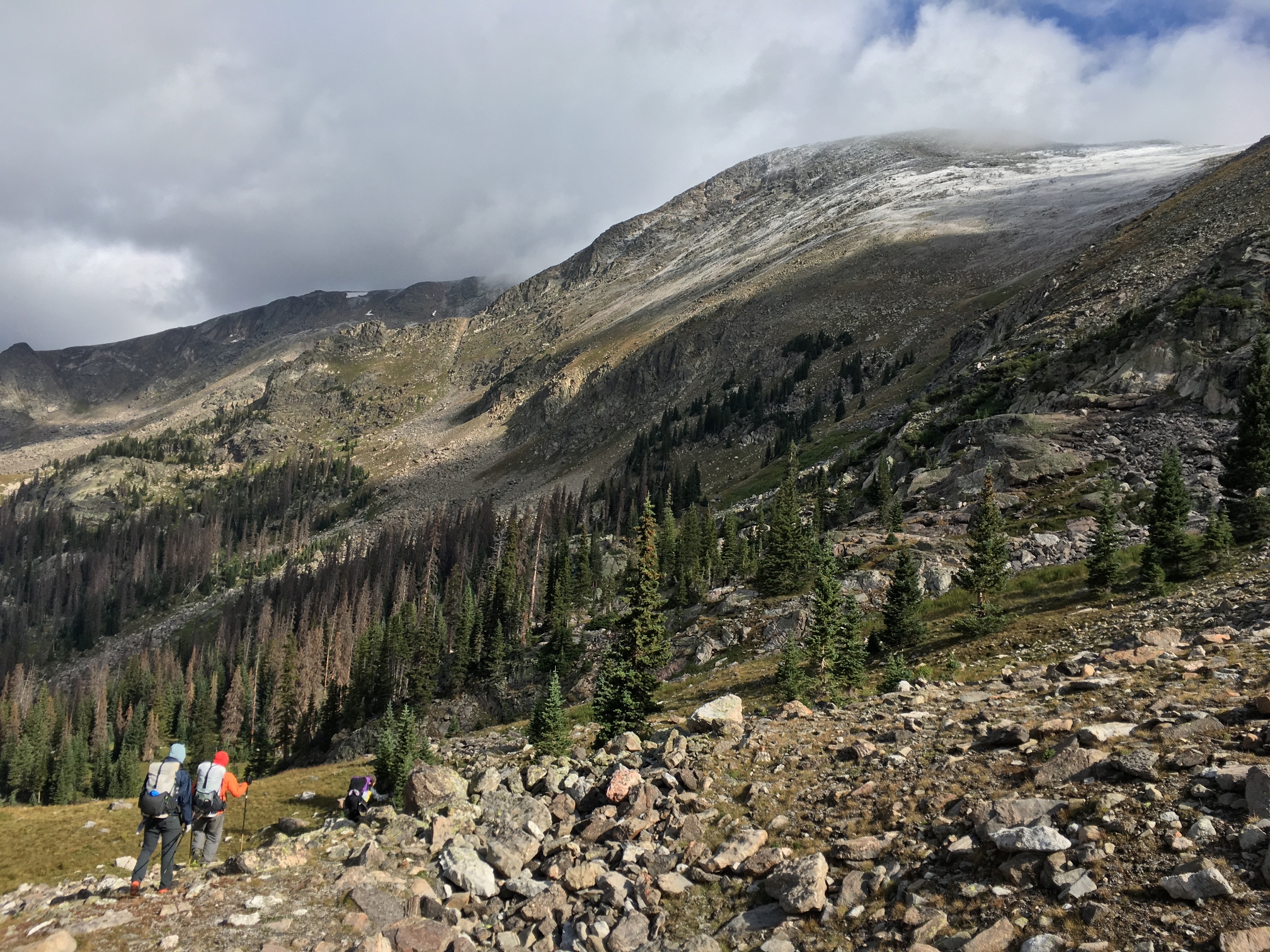
We start up our pass as the forecast sun starts to break through the clouds. There's a talus route to a bench halfway up then a grassy slope to the top. Once we're up we can see back down to Haynach behind us and over into the next valley in front of us. There's fresh snow on the rounded peaks above our path as we walk down towards Julian Lake. At Julian I grab a liter of water before we head back up again.
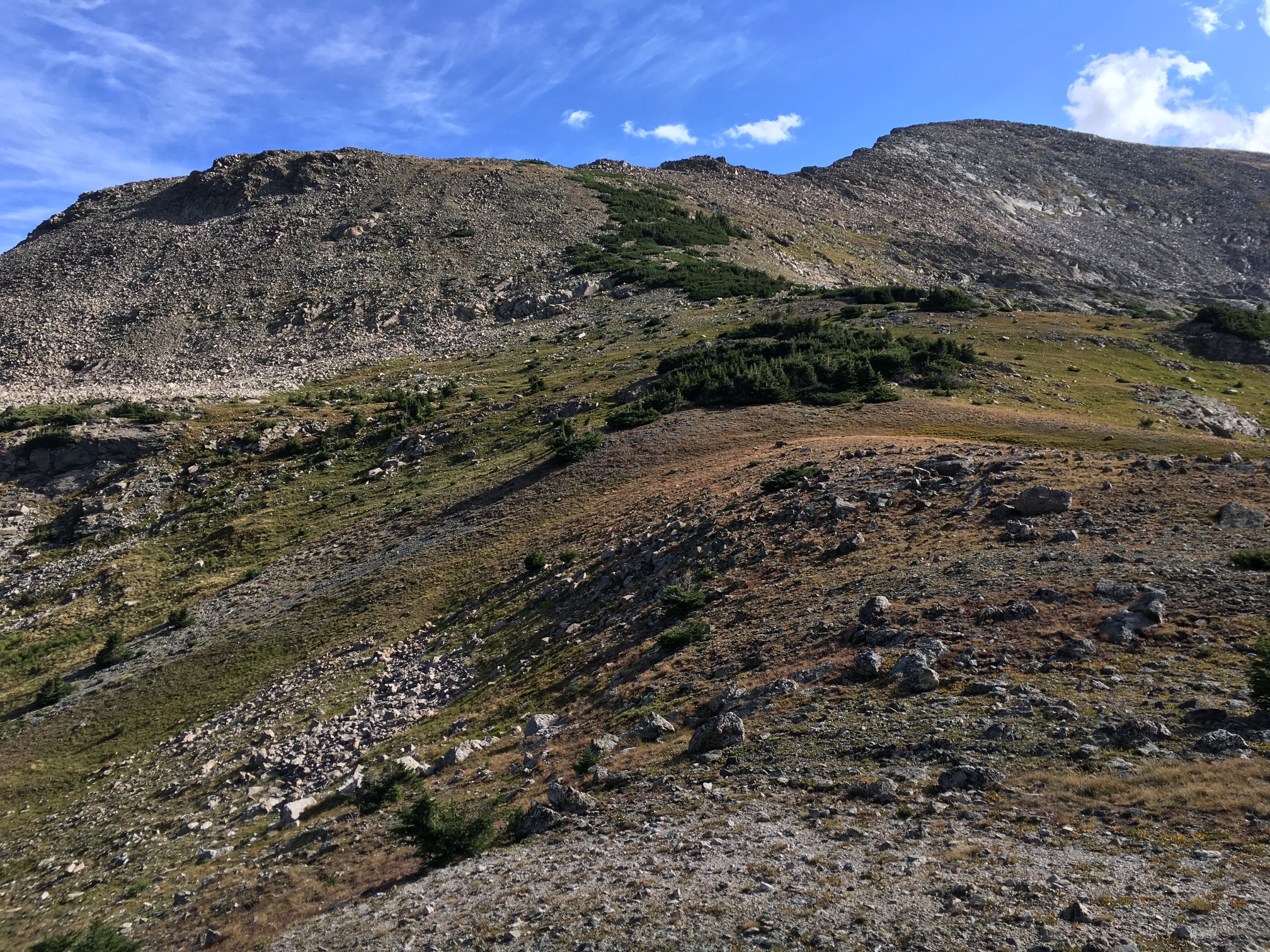
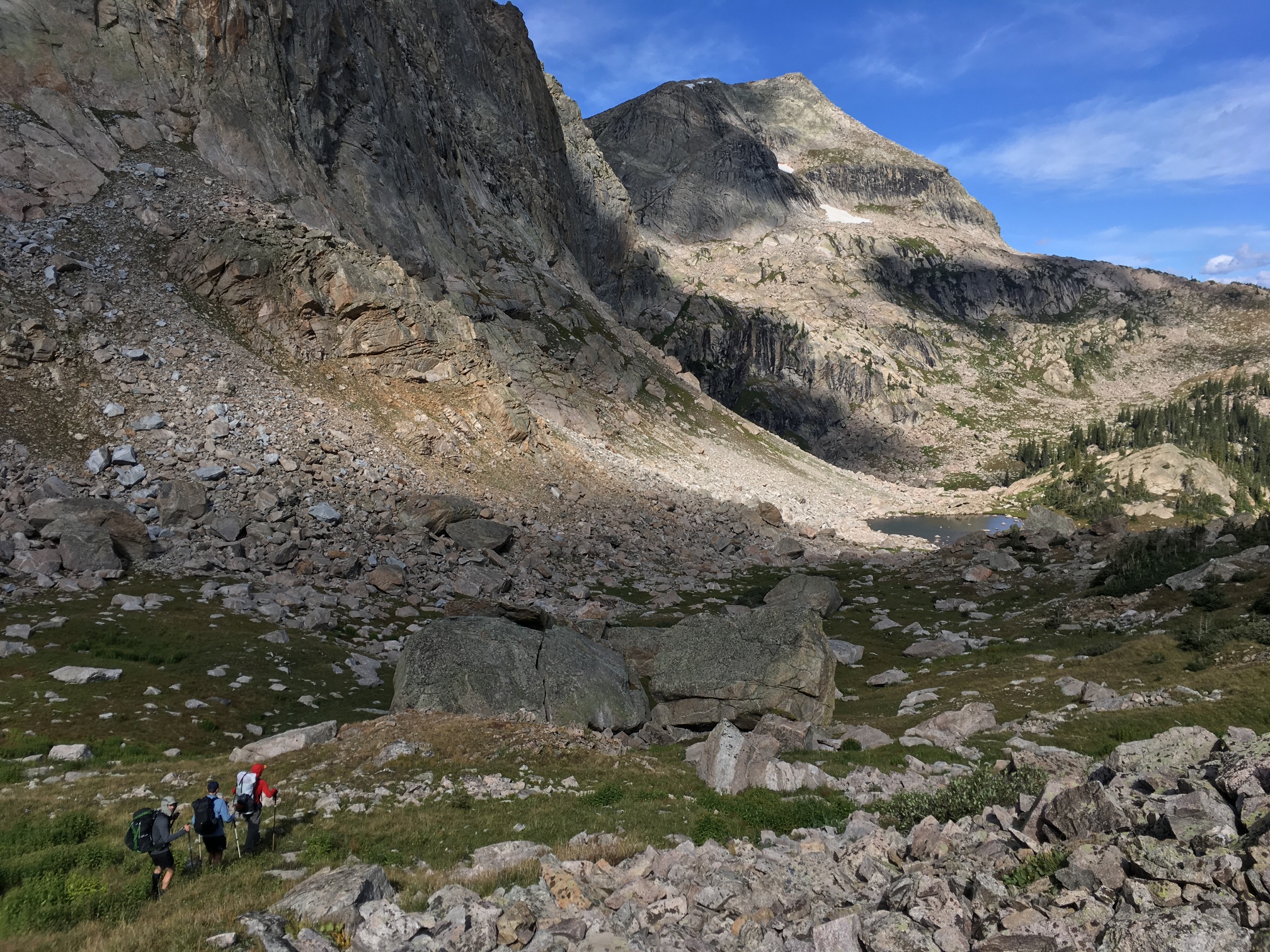
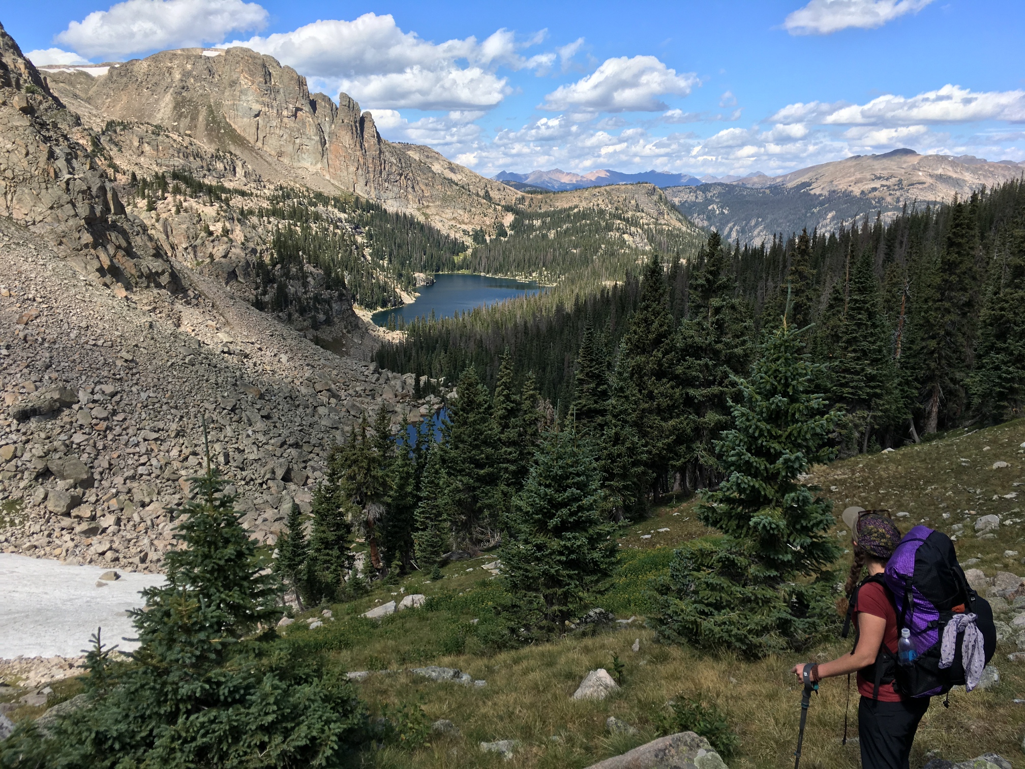
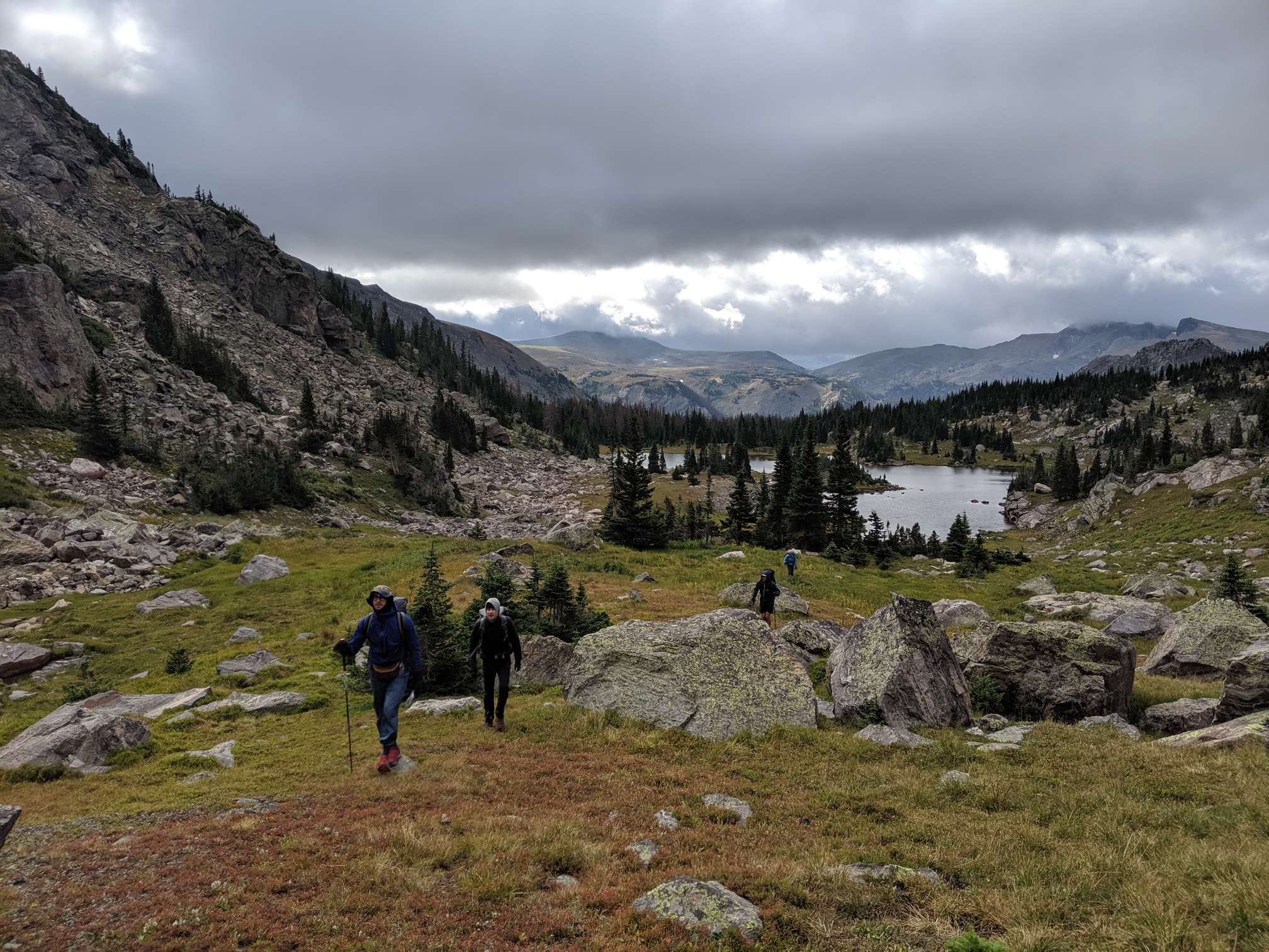
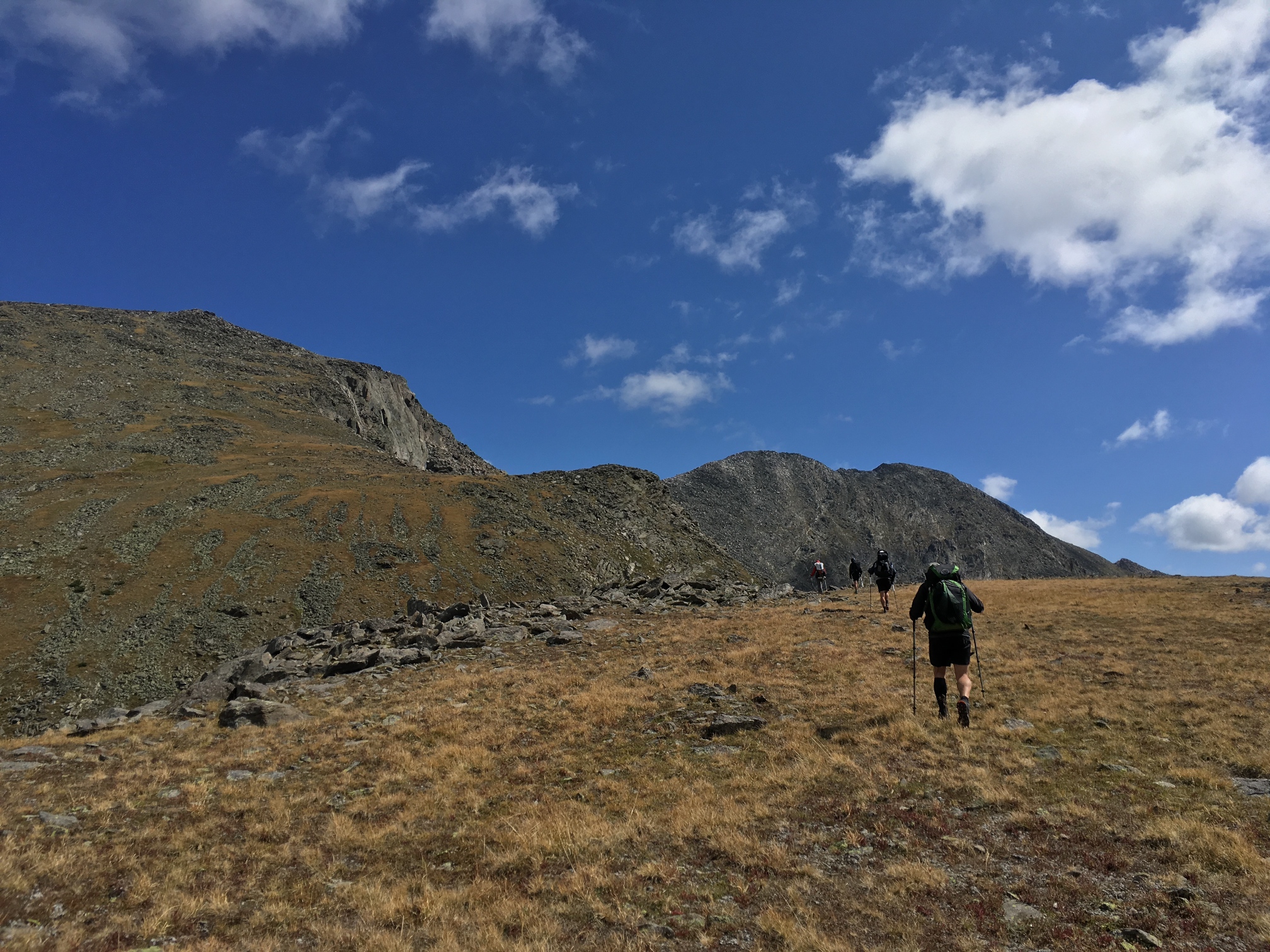
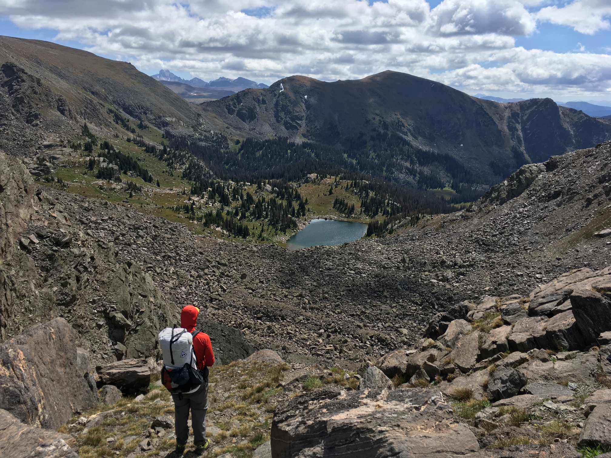
The next pass is west of the lake between two unnamed peaks. It's short but steep and fun at the same time. I decide to climb up it as fast as I can for some reason and I think I find my max heart rate in the process. Once we're all up we begin this beautiful contour around a treeless, round mountain. We're sidehilling it for about 30 minutes before we get to a saddle that reveals our next lake (do you see the pattern?). Timber lake is about 700ft below us but the way looks very steep and full of talus. We scout around for a good way down and eventually find a route that appears to go. Down at the lake we find shelter from the wind and take lunch. Alan leads us in an impromptu meditation.
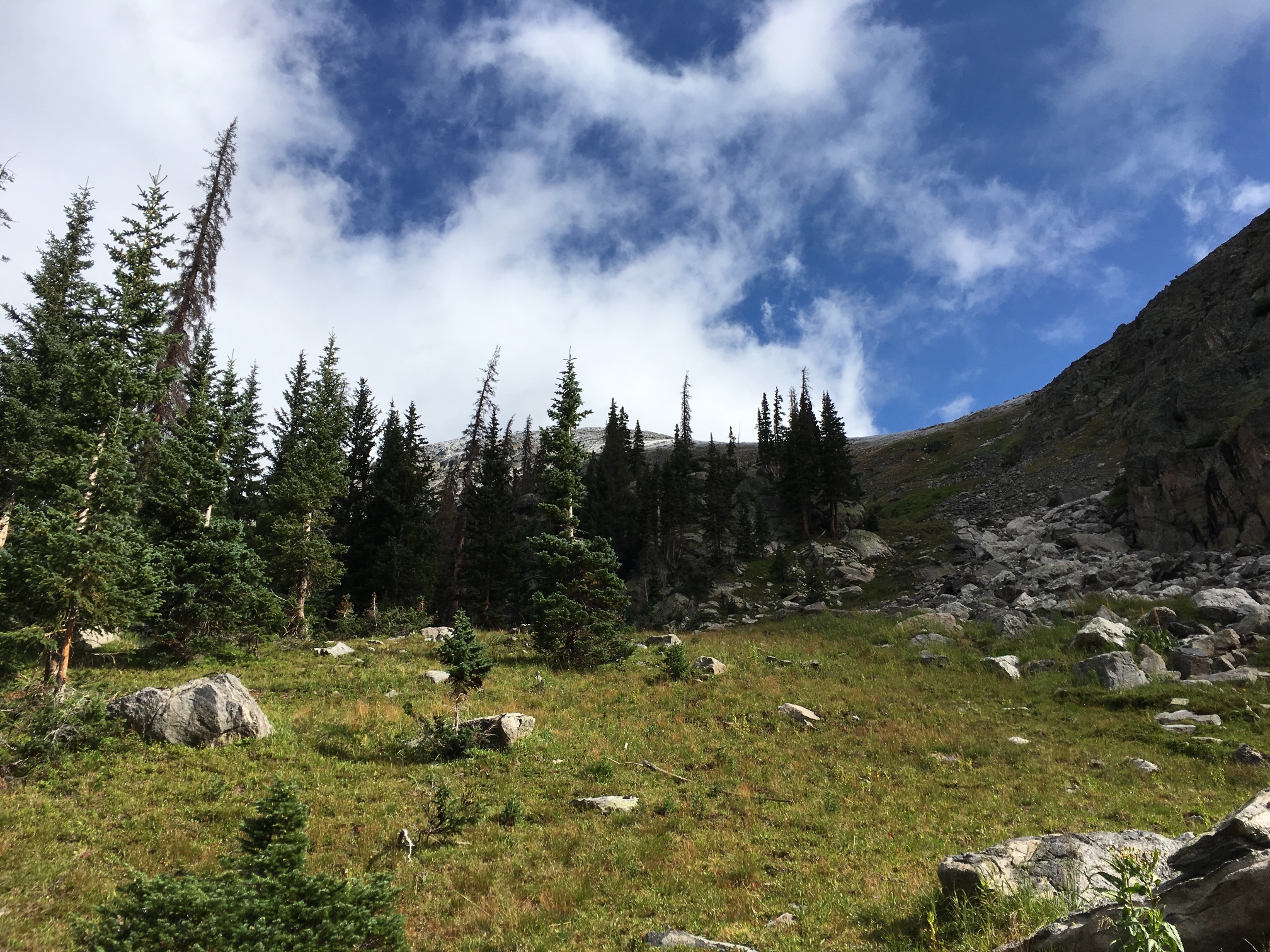
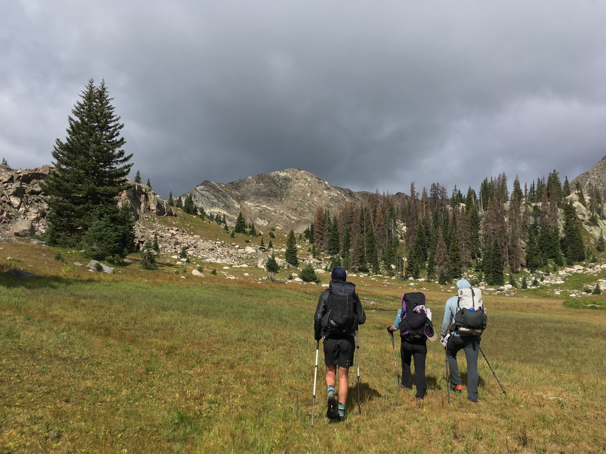
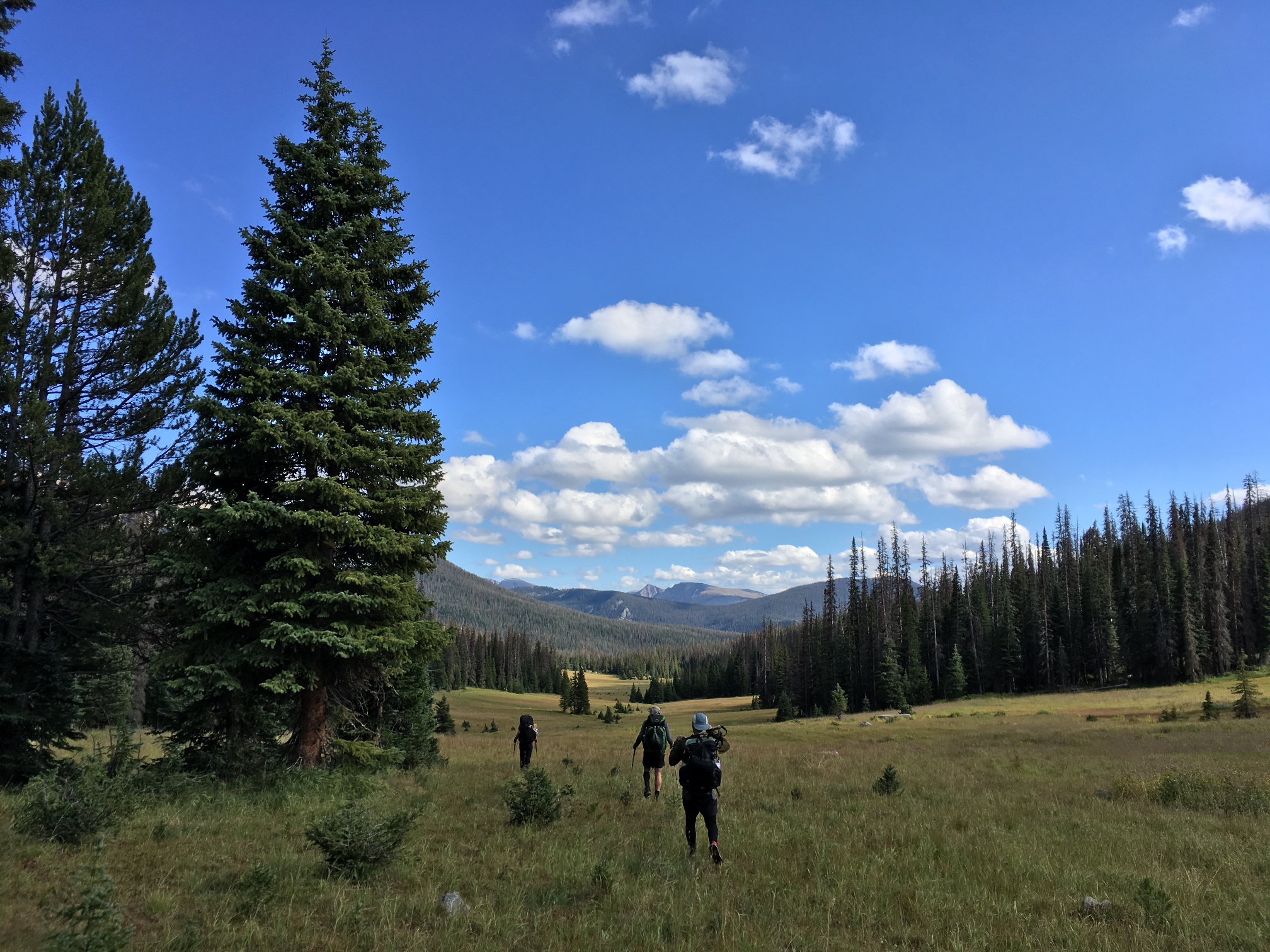
At this point we're basically done with the high portion of the route. Thinking there's not much left but walking on trails through trees, we come upon Long Meadow. After spur of the moment suggestion by Rachel and Alan to walk it in silence, we spread out and have a magical stroll through the grass where there's evidence that all matter of large animals bed down each night. Later, after we've resumed talking, the meadow turns into something more like a bog. We're supposed to camp here, but it's way too wet and we have to keep searching. Eventually we find a dry spot and everyone crowds into a nearby stream to wash the bog off of our legs.
-
![]()
The view from the Haynach campsite.
-
![]()
Pointing out elk at Haynach Lake. Photo from Jeff DeWolf.
-
![]()
Photo from Jeff DeWolf.
-
![]()
The first pass of the day in front of us.
![]()
-
![]()
Over the pass and down into the next valley.
![]()
![]()
-
![]()
Ascending the next pass with Julian Lake behind us.
![]()
![]()
-
![]()
Our next destination, Timber Lake, at the bottom of a talus field. I took a picture of this lake 12 years prior when I hiked to Mt. Ida with my friend Drew in 2007. You can see Long Meadow in the background of that picture which is what we're walking through in the photo below.
![]()
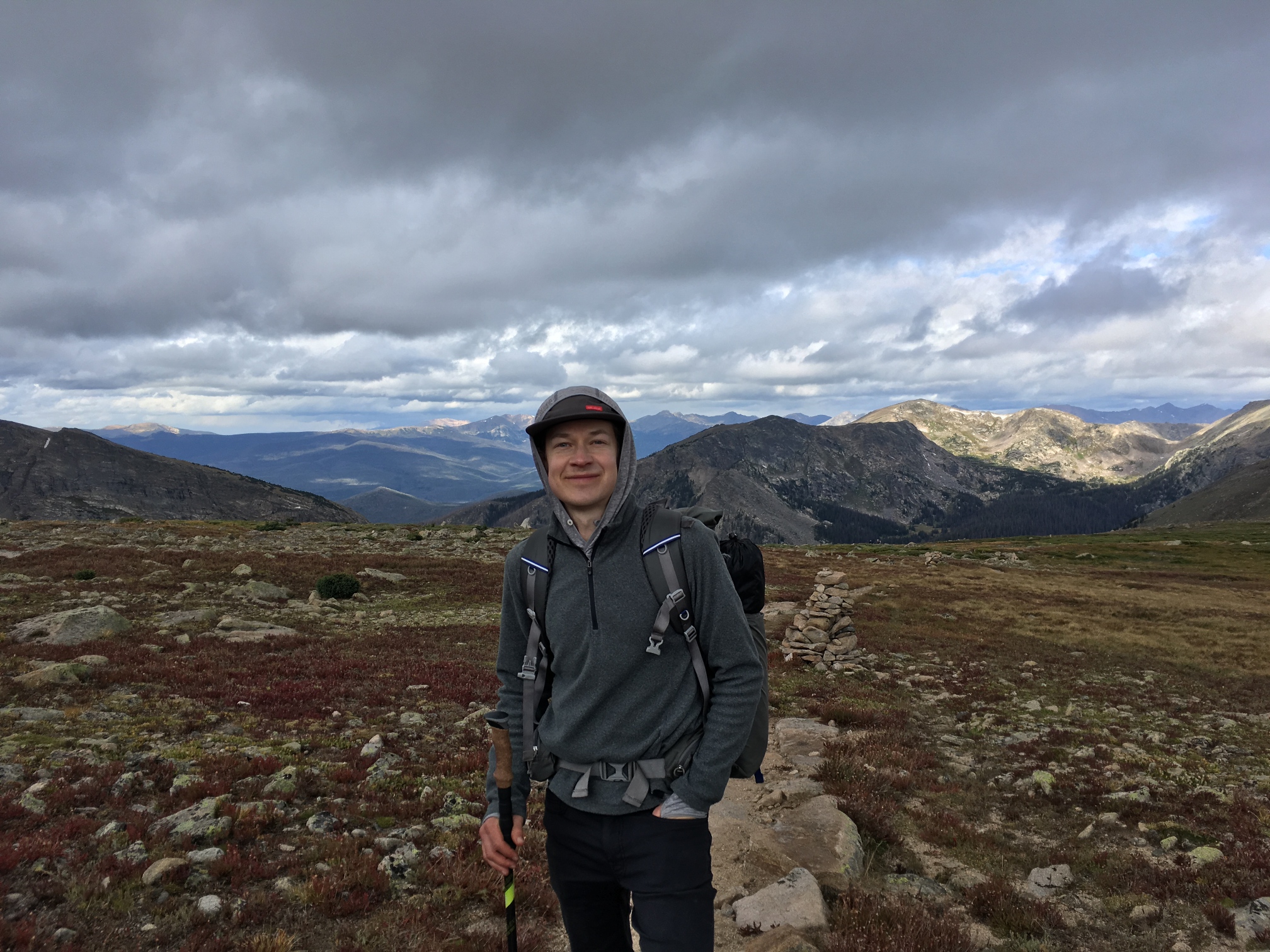
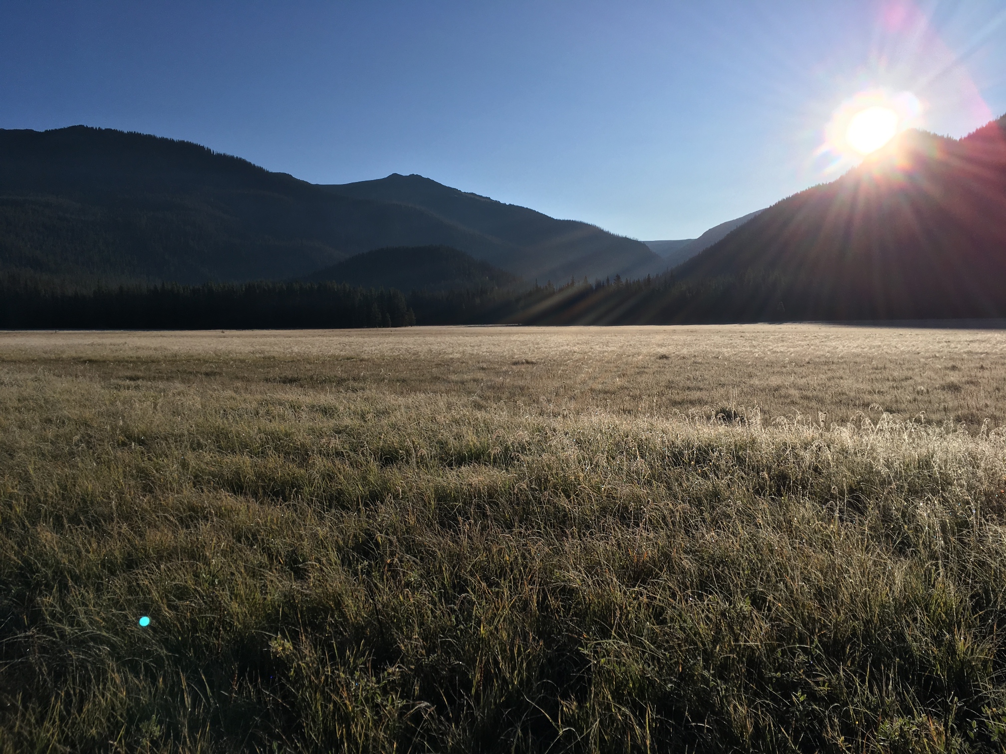
Day 5: The bog wash in the stream the night before has repercussions. It probably gets down to the high 20s overnight. We all have wet shoes and socks and most of us wake up to frozen versions of each. I keep my shoes under my tent vestibule and narrowly avoid the ice shoe fate. David, who cowboy camped, takes probably 15 minutes to squeeze his feet into his frozen and un-untieable shoes. Now we just have a 7 or so mile hike into Grand Lake where we decide we'll walk straight into a breakfast joint for food. We get to town and I order an egg & cheese burrito with a side stack of chocolate chip pancackes. Then there's 1 more mile to walk back to our cars and the trailhead. Back at East Inlet we find Andrew and Justin plus the other group who set out at the same time as us hanging out. We all make our way back into town for lunch and eventually say our goodbyes. I opt to drive back to the Front Range via Trail Ridge Road rather than I-70, so I get to see some of the terrain we walked through one last time.
-
![]()
Ice on the grass in Big Meadow the final morning.
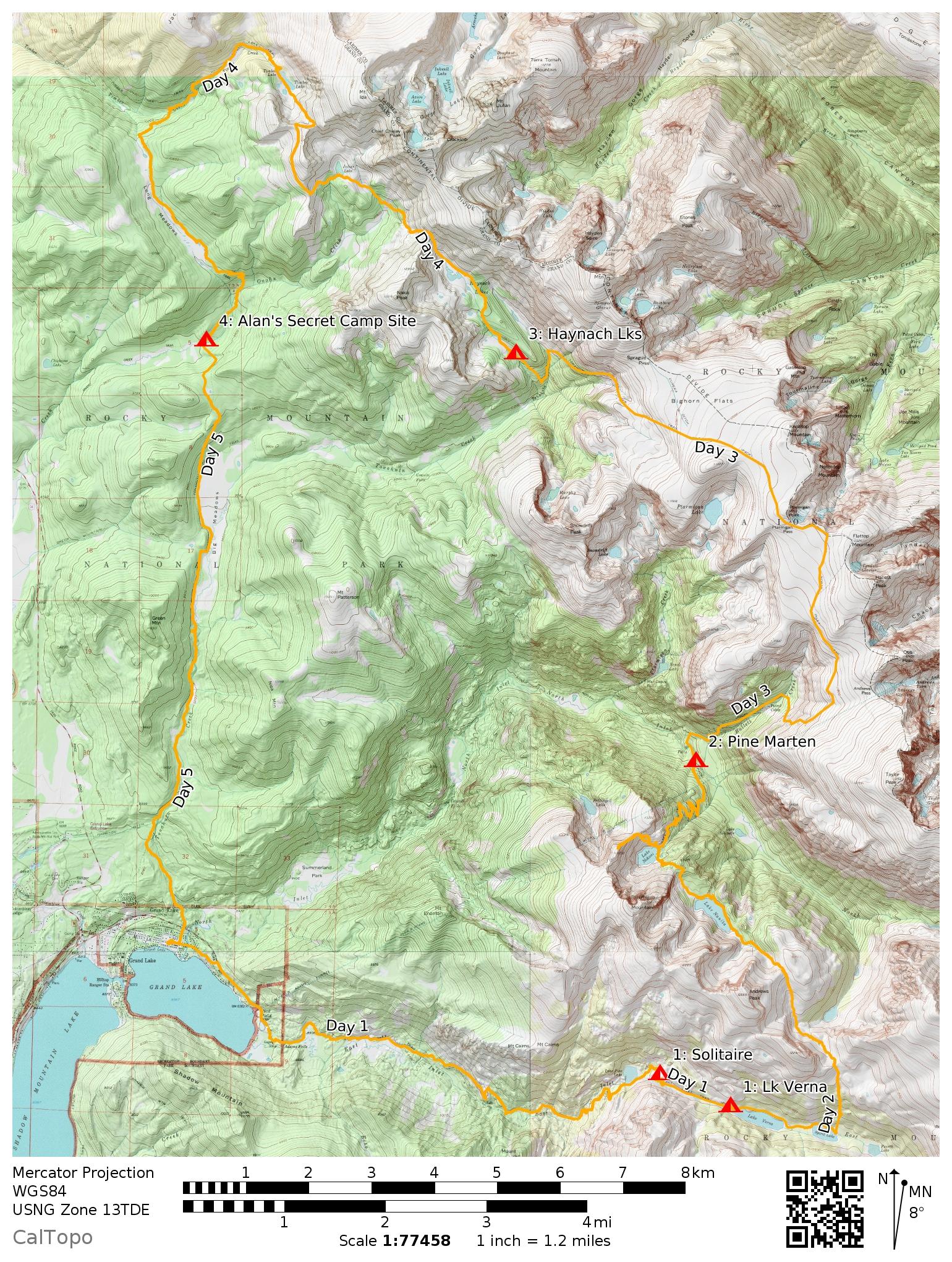
Map, Mileage and Elevation Gain
- Day 1: 7.54mi; 2,524ft
- Day 2: 9.78mi; 3,250ft
- Day 3: 8.59mi; 3,297ft
- Day 4: 11.45mi; 2,697ft
- Day 5: 10.6mi; 631ft
- Total Trip Mileage: 47.96 miles
- Total Trip Elevation Gain: 11,768ft
Since we started Monday at 10:30am or so and finished on Friday about the same time, it's actually 4 days of hiking. Taking the average we get 12mi and 2,942ft of elevation gain per day. This was a High intensity level trip. I did skip Taylor Peak though remember. If I hadn't, the average elevation gain would be more like 3,300ft per day.
This map is an edit of fellow hiker David's GPX track and was generated by caltopo.
Gear
In short, 13lb base weight and 22lb total pack weight on day 1.
[Lighterpack]
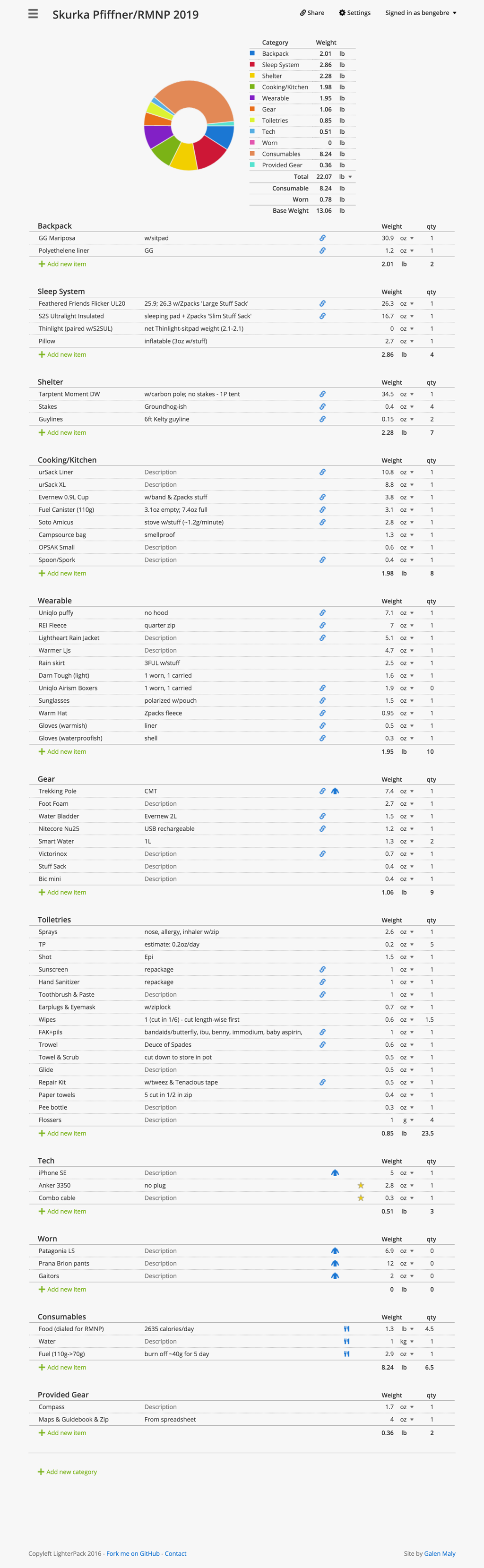
What worked
- I stayed warm down to the mid-to-high 20s. I put a Gossamer Gear thinlight (which I also use as a backpad) under my sleeping pad and brought warmer long johns. I've been cold at higher temps, so this tweak definitely worked. And it only cost me about half an ounce.
- My new sun hoody worked great. It kept the sun off me and felt cool during the day, but it was also a great warm layer at night when I buttoned it up. It allowed me to drop a sleep shirt, so that was a big weight savings.
- I only brought a 3,350mah battery. I never ran out of juice for my phone or headlamp. This is a big change from my first backpacking trip a few years ago when I brought a 20,000mah brick that weighed a ton.
- I really dialed in my food . I get a kick out of optimizing this for some reason. I was trying to not buy much new gear this year, so making a spreadsheet for food selection replaced gear obsession. I carried 1.3lbs of food per day at an average of 126 calories/oz. (2,625 calories/day) for a total of 5.9lbs of food for the entire 4.5 day trip. I walked out with one bag of crackers at the end I think.
- I never carried more than 1L of water. I rarely even carried that much. I probably could have gotten away with not carrying any water by just drinking at lakes and streams along the way.
- Off-trail navigation felt really comfortable this year. Last year I felt like I understood it at a technical level, but this year it felt intuitive. I have much more confidence to do this on my own now.
What didn't work
- I still got blisters. None of them were problematic nor did any break, so they weren't ever an issue, but I don't really get blisters on-trail. I did have numerous days with completely wet feet, so I should probably consider this an improvement. I need to keep working on it though.
-
Jealous of bivvies. This wasn't really a "didn't work" kind of thing, but I was envious of the quick setup and small footprint of the folks who could either bivy or cowboy camp. I'm glad I didn't actually do it this trip because there was a lot of dew and condensation (not to mention rain and snow), but I would like to have this option in the right conditions. I may bring some polycro and/or a bivy with me in the future. Perhaps I'd even remove the inner on my tent and pair it with a bivy when I need to.
Final Thoughts
Similar to the Colorado landscape having a different character than the Kings Canyon landscape last year, the experience around this hike had a different character too. Last year was moderately more physical; we did something like 3,800ft of elevation gain a day then. Part of that is that the weather in Colorado doesn't always cooperate which means some plans get nixed. You don't get to do the bonus route when it's supposed to rain the whole second half of the the day. Rocky Mountain National Park also has some pretty strict camping rules which prevent you from just finding a spot on the fly. You have to camp in designated campsites and you have to book them ahead of time.
I may have been slightly disappointed if I knew that the stats for this trip were going be less than last year because I do generally like to get my ass kicked by a hike, but it would have been a mistake to judge things by such a superficial measure. This was a great trip! Part of it is that I just really love Colorado (despite its weather), but also we had a great group of friendly, enthusiastic and physically well-matched hikers who were all really excited to be doing something that was generally pretty new to all of us: off-trail hiking. And our guides Alan and Jessica were genuine and interesting people to be around and learn from. It was a great group of people to spend 5 days with. I think everyone's enthusiasm for being out there created even more enthusiasm in the process. It was awesome to be a part of that for a couple of days.